Geolocate

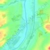
Avanton topographic map

Click on the map to display elevation.

About this map
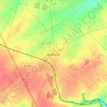
Name: Avanton topographic map, elevation, terrain.

Location: Avanton, Poitiers, Vienne, Nouvelle-Aquitaine, Metropolitan France, 86170, France (46.64320 0.27612 46.68374 0.33911)

Average elevation: 114 m

Minimum elevation: 79 m

Maximum elevation: 134 m

Other topographic maps

Click on a map to view its topography, its elevation and its terrain.

Logerie

France > Nouvelle-Aquitaine > Vienne > Bonneuil-Matours

Average elevation: 117 m

La Chasseigne

France > Nouvelle-Aquitaine > Vienne > Thollet

Average elevation: 161 m

Montin

France > Nouvelle-Aquitaine > Vienne > Vicq-sur-Gartempe

Average elevation: 99 m

Les Bordes

France > Nouvelle-Aquitaine > Vienne > Gouex

Average elevation: 108 m

Verrières

France > Nouvelle-Aquitaine > Vienne > Champniers

Average elevation: 137 m

Gear up for your next adventure:

🛏️Camping Sleeping Mat - Comfortable mats for sleeping outdoors
🧤Thermal Hiking Gloves - Grip-enhanced gloves for cold-weather altitude trekking
🧴Waterproofing Spray - Restore the DWR coating on jackets and tents
🥾Trekking Boots - Durable boots for long-distance trekking
🛌Down Sleeping Bag - Superior warmth-to-weight ratio for cold nights

As an Amazon Associate, this site earns from qualifying purchases at no extra cost to you.