
Randalls Bay topographic map
Interactive map
Click on the map to display elevation.
About this map
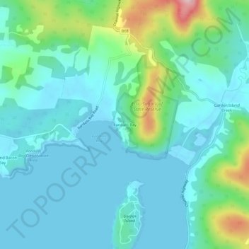
Name: Randalls Bay topographic map, elevation, terrain.
Location: Randalls Bay, Tasmania, Australia (-43.26347 147.10965 -43.22347 147.14965)
Average elevation: 49 m
Minimum elevation: -3 m
Maximum elevation: 249 m