
Táchira topographic map
Interactive map
Click on the map to display elevation.
About this map
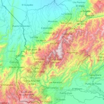
Name: Táchira topographic map, elevation, terrain.
Location: Táchira, Venezuela (7.36123 -72.48777 8.68271 -71.31519)
Average elevation: 911 m
Minimum elevation: 9 m
Maximum elevation: 3,836 m
Other topographic maps
Click on a map to view its topography, its elevation and its terrain.