
Rebollar topographic map
Click on the map to display elevation.
About this map
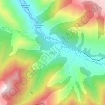
Name: Rebollar topographic map, elevation, terrain.
Location: Rebollar, Degaña, Asturias, 33812, España (42.92428 -6.62727 42.96428 -6.58727)
Average elevation: 1,153 m
Minimum elevation: 722 m
Maximum elevation: 1,770 m