
Chavignac topographic map
Interactive map
Click on the map to display elevation.
About this map
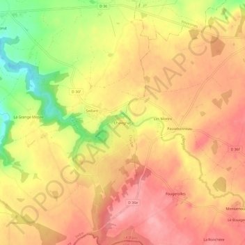
Name: Chavignac topographic map, elevation, terrain.
Average elevation: 221 m
Minimum elevation: 150 m
Maximum elevation: 260 m
Other topographic maps
Click on a map to view its topography, its elevation and its terrain.
Le Cluzeau
France > Centre-Val de Loire > Indre > Chaillac
Le Cluzeau, Chaillac, Le Blanc, Indre, Centre-Val de Loire, France métropolitaine, 36310, France
Average elevation: 167 m
Loissière
France > Centre-Val de Loire > Indre > Chaillac
Loissière, Chaillac, Le Blanc, Indre, Centre-Val de Loire, France métropolitaine, 36310, France
Average elevation: 185 m