
Souvret topographic map
Interactive map
Click on the map to display elevation.
About this map
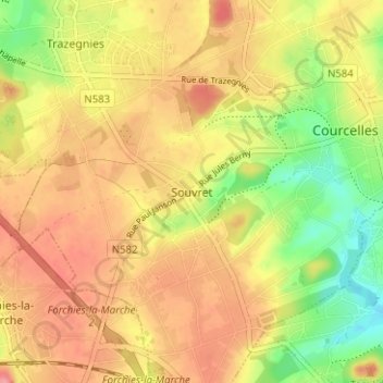
Name: Souvret topographic map, elevation, terrain.
Location: Souvret, Charleroi, Henegouwen, Wallonië, 6182, België (50.43100 4.33083 50.47100 4.37083)
Average elevation: 163 m
Minimum elevation: 113 m
Maximum elevation: 199 m