
Étang de Hanau topographic map
Interactive map
Click on the map to display elevation.
About this map
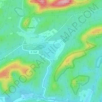
Name: Étang de Hanau topographic map, elevation, terrain.
Average elevation: 265 m
Minimum elevation: 219 m
Maximum elevation: 395 m
Other topographic maps
Click on a map to view its topography, its elevation and its terrain.
Château du Falkenstein
France > Grand Est > Philippsbourg
Château du Falkenstein, Chemin Landersberg 2, Maison Forestière du Weihersthal, Philippsbourg, Sarreguemines, Moselle, Grand Est, France métropolitaine, 57230, France
Average elevation: 269 m