
Kassala topographic map
Interactive map
Click on the map to display elevation.
About this map
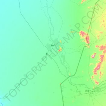
Name: Kassala topographic map, elevation, terrain.
Location: Kassala, Soudan (15.00865 36.00173 15.77626 36.72548)
Average elevation: 544 m
Minimum elevation: 427 m
Maximum elevation: 1,410 m
Other topographic maps
Click on a map to view its topography, its elevation and its terrain.