
Barrow topographic map
Interactive map
Click on the map to display elevation.
About this map
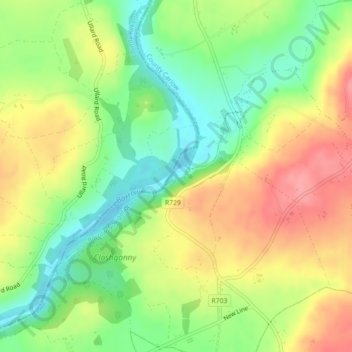
Name: Barrow topographic map, elevation, terrain.
Average elevation: 55 m
Minimum elevation: 10 m
Maximum elevation: 105 m
Other topographic maps
Click on a map to view its topography, its elevation and its terrain.
The Municipal District of Muinebeag
The Municipal District of Muinebeag, Comté de Carlow, Leinster, Irlande
Average elevation: 129 m
Eaglehill Newton
Eaglehill Newton, Clonmore ED, The Municipal District of Tullow, Comté de Carlow, Leinster, Irlande
Average elevation: 181 m