
La Digue District topographic map
Interactive map
Click on the map to display elevation.
About this map
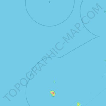
Name: La Digue District topographic map, elevation, terrain.
Location: La Digue District, La Digue Group, Seychelles (-4.59304 55.20167 -3.71030 55.95137)
Average elevation: 1 m
Minimum elevation: 0 m
Maximum elevation: 691 m
Other topographic maps
Click on a map to view its topography, its elevation and its terrain.
La Digue
Seychelles > La Digue Group > La Digue District
La Digue, La Digue District, La Digue Group, Seychelles
Average elevation: 29 m