
Spankeren topographic map
Interactive map
Click on the map to display elevation.
About this map
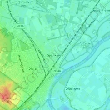
Name: Spankeren topographic map, elevation, terrain.
Location: Spankeren, Geldern, Niederlande, 6956, Niederlande (52.03755 6.09426 52.07755 6.13426)
Average elevation: 14 m
Minimum elevation: 3 m
Maximum elevation: 50 m