Geolocate

Patterson Park topographic map

Click on the map to display elevation.

About this map

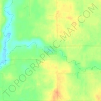
Name: Patterson Park topographic map, elevation, terrain.

Location: Patterson Park, 5995, Ravenna Township, Muskegon County, Michigan, 49451, United States (43.14528 -85.95244 43.14779 -85.94747)

Average elevation: 207 m

Minimum elevation: 188 m

Maximum elevation: 223 m

Other topographic maps

Click on a map to view its topography, its elevation and its terrain.

Maple Grove

United States > Michigan > Muskegon County > Montague

Average elevation: 189 m

Fruitport

United States > Michigan > Muskegon County

Average elevation: 189 m

Ravenna

United States > Michigan > Muskegon County

Average elevation: 210 m

Montague

United States > Michigan > Muskegon County

Average elevation: 191 m

Big Blue Lake

United States > Michigan > Muskegon County

Average elevation: 204 m

Gear up for your next adventure:

🧥Softshell Hiking Jacket - The perfect balance of wind protection and breathability
🔦UV Flashlight - Detect minerals or specific insects in the dark
🧤Rechargeable Heated Gloves - Extreme warmth for Canadian winter expeditions
🧢Beanie Hat - Keep your head warm in cold weather
💡Solar Camping Lamp - Eco-friendly lighting for campsites

As an Amazon Associate, this site earns from qualifying purchases at no extra cost to you.