Geolocate

Robinson Creek topographic map

Click on the map to display elevation.

About this map

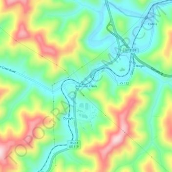
Name: Robinson Creek topographic map, elevation, terrain.

Location: Robinson Creek, Pike County, Kentucky, 41560, United States (37.36705 -82.55738 37.40705 -82.51738)

Average elevation: 337 m

Minimum elevation: 210 m

Maximum elevation: 548 m

Other topographic maps

Click on a map to view its topography, its elevation and its terrain.

Pikeville

United States > Kentucky > Pike County

Average elevation: 338 m

Gear up for your next adventure:

🧰Survival Kit - Essential gear for emergencies in the wilderness
💧Filtered Water Bottle - Safe drinking water on the go
🛌Insulated Sleeping Pad - Critical thermal barrier between you and the cold ground
🧴Insect Repellent - Protect yourself from bugs during outdoor adventures
🦌Outdoor Trail Camera - Monitor wildlife activity near your favorite spots

As an Amazon Associate, this site earns from qualifying purchases at no extra cost to you.