

Zacatelco topographic map
Click on the map to display elevation.
Zacatelco
Zacatelco is located in the southern part of the valley of Tlaxcala, on the border with the state of Puebla, is at an altitude of 2,210 meters above sea level, making it one of the highest cities in Mexico. It is located just 11.9 km from the state capital, 27.1 km from the city of Puebla and 121.8 km from Mexico City.
About this map
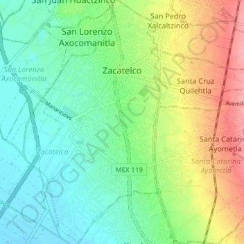
Name: Zacatelco topographic map, elevation, terrain.
Location: Zacatelco, Tlaxcala, Mexico (19.17436 -98.26083 19.23270 -98.23024)
Average elevation: 2,215 m
Minimum elevation: 2,181 m
Maximum elevation: 2,278 m