
Lac Chevreuil topographic map
Click on the map to display elevation.
About this map
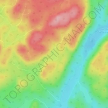
Name: Lac Chevreuil topographic map, elevation, terrain.
Average elevation: 778 m
Minimum elevation: 707 m
Maximum elevation: 853 m
Le Fjord-du-Saguenay trails, hiking, mountain biking, running and outdoor activities
Other topographic maps
Click on a map to view its topography, its elevation and its terrain.