

Apennine Mountains topographic map
Click on the map to display elevation.
Apennine Mountains
A separate branch, the Apuan Alps, goes southwest, bordering the coast south of La Spezia. Whether they are to be considered part of the Apennines is a matter of opinion; certainly, they are part of the Apennine System. Topographically only the valley of the River Serchio, which running parallel to the coast turns and exits into the Tyrrhenian Sea north of Pisa, separates the Apuan Alps from the Apennines; geologically the rock is of a slightly different composition, marble. The Roman marble industry was centered at Luna, and is now active in Carrara.
About this map
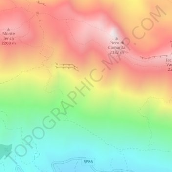
Name: Apennine Mountains topographic map, elevation, terrain.
Location: Apennine Mountains, L'Aquila, Italy (42.45439 13.46662 42.45449 13.46672)
Average elevation: 1,735 m
Minimum elevation: 1,153 m
Maximum elevation: 2,348 m