Geolocate

Padur topographic map

Click on the map to display elevation.

About this map

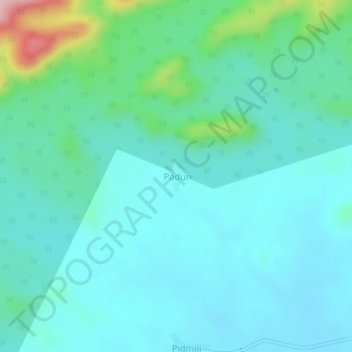
Name: Padur topographic map, elevation, terrain.

Location: Padur, Bhamragad, Gadchiroli, Maharashtra, India (19.52467 80.54620 19.56467 80.58620)

Average elevation: 270 m

Minimum elevation: 218 m

Maximum elevation: 507 m

Gear up for your next adventure:

🥾Lightweight Hiking Boots - Boots for comfort and mobility on long hikes
🧣Merino Neck Gaiter - Protects against wind, sun, and cold at high altitudes
🦶Anti-Blister Balm - Prevents friction and hotspots during long ascents
🥾Waterproof Hiking Boots - Essential footwear for rugged terrain and wet Canadian trails
👟Leg Gaiters - Keep debris, mud, and snow out of your boots

As an Amazon Associate, this site earns from qualifying purchases at no extra cost to you.