
Make a donation
Gear up for your next adventure:
As an Amazon Associate, this site earns from qualifying purchases at no extra cost to you.
Federal Dependencies topographic map
Click on the map to display elevation.
Make a donation
Gear up for your next adventure:
As an Amazon Associate, this site earns from qualifying purchases at no extra cost to you.
About this map
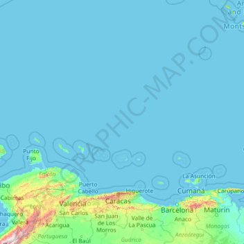
Name: Federal Dependencies topographic map, elevation, terrain.
Location: Federal Dependencies, Venezuela (10.57695 -70.99164 15.74499 -61.80283)
Average elevation: 83 m
Minimum elevation: -2 m
Maximum elevation: 4,539 m
Make a donation
Gear up for your next adventure:
As an Amazon Associate, this site earns from qualifying purchases at no extra cost to you.
Other topographic maps
Click on a map to view its topography, its elevation and its terrain.
Make a donation
Gear up for your next adventure:
As an Amazon Associate, this site earns from qualifying purchases at no extra cost to you.
Puerto La Cruz
Venezuela > Anzoategui State > Municipio Juan Antonio Sotillo > Puerto La Cruz
Average elevation: 97 m
Picacho del Diablo
Venezuela > Carabobo State > Municipio San Diego > Parroquia San Diego
Average elevation: 1,310 m
Make a donation
Gear up for your next adventure:
As an Amazon Associate, this site earns from qualifying purchases at no extra cost to you.