
Río La Pasión topographic map
Interactive map
Click on the map to display elevation.
About this map
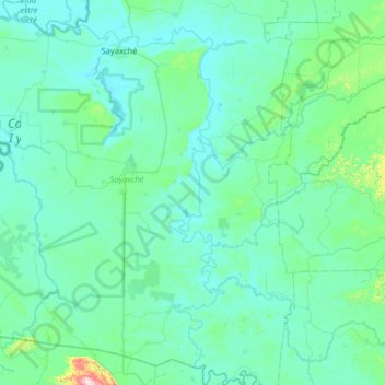
Name: Río La Pasión topographic map, elevation, terrain.
Location: Río La Pasión, Sayaxché, Petén, 17010, Guatemala (15.99149 -90.54369 16.60342 -89.98838)
Average elevation: 154 m
Minimum elevation: 100 m
Maximum elevation: 716 m
Other topographic maps
Click on a map to view its topography, its elevation and its terrain.