
Zorlepula topographic map
Interactive map
Click on the map to display elevation.
About this map
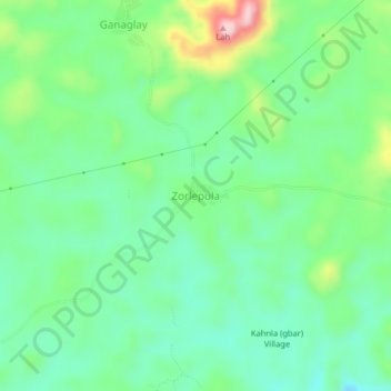
Name: Zorlepula topographic map, elevation, terrain.
Location: Zorlepula, Gbehlay-Geh, Nimba County, Liberia (7.31676 -8.52958 7.35676 -8.48958)
Average elevation: 440 m
Minimum elevation: 372 m
Maximum elevation: 597 m