
Vedra topographic map
Interactive map
Click on the map to display elevation.
About this map
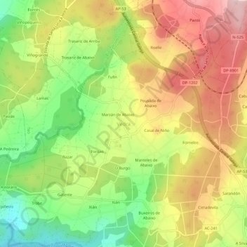
Name: Vedra topographic map, elevation, terrain.
Location: Vedra, Santiago, La Coruña, Galicia, España (42.75655 -8.50217 42.79655 -8.46217)
Average elevation: 164 m
Minimum elevation: 33 m
Maximum elevation: 291 m