Geolocate

Stonewall topographic map

Click on the map to display elevation.

About this map

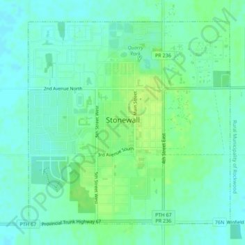
Name: Stonewall topographic map, elevation, terrain.

Location: Stonewall, Rockwood, Manitoba, R0C 2Z0, Canada (50.12275 -97.34503 50.14507 -97.31026)

Average elevation: 251 m

Minimum elevation: 245 m

Maximum elevation: 259 m

Manitoba trails, hiking, mountain biking, running and outdoor activities

Gear up for your next adventure:

🧢Hiking Hat - Sun-protective and breathable hats for long treks
🥾Trail Hiking Shoes - Durable shoes designed for rugged trails
🧴Bear Spray Holster - Quick-access carry for essential Canadian wilderness safety
🧼Travel Hand Sanitizer - Keep hands clean when water is scarce
🥾Mountaineering Boots - Supportive boots for climbing and high-altitude hiking

As an Amazon Associate, this site earns from qualifying purchases at no extra cost to you.