
Mount Sungay topographic map
Click on the map to display elevation.
Mount Sungay
The mountain peak was previously much higher with an elevation of 752 meters (2,467 ft), Its former profile, "a sharp peak at the eastern end of a table of land (Tagaytay Ridge)", was one of the visible landmarks used by early navigators when sailing to and around Manila Bay. It was conical in shape with steep sides deemed "inaccessible", topped by distinct rock formations that resembled horns, (Tagalog: sungay), hence the name.
About this map
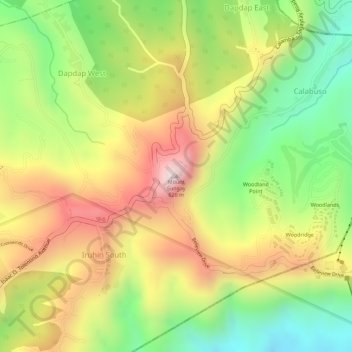
Name: Mount Sungay topographic map, elevation, terrain.
Average elevation: 501 m
Minimum elevation: 264 m
Maximum elevation: 728 m
Other topographic maps
Click on a map to view its topography, its elevation and its terrain.