
Ramamangalam topographic map
Interactive map
Click on the map to display elevation.
About this map
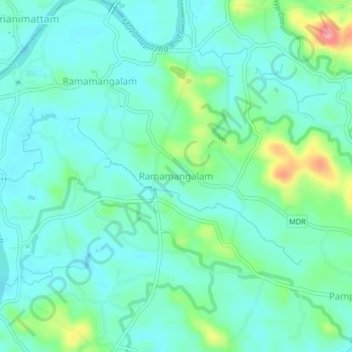
Name: Ramamangalam topographic map, elevation, terrain.
Location: Ramamangalam, Muvattupuzha, Ernakulam, Kerala, 686663, India (9.91336 76.48003 9.95336 76.52003)
Average elevation: 25 m
Minimum elevation: 0 m
Maximum elevation: 109 m
Other topographic maps
Click on a map to view its topography, its elevation and its terrain.