
Ambohijanaka topographic map
Interactive map
Click on the map to display elevation.
About this map
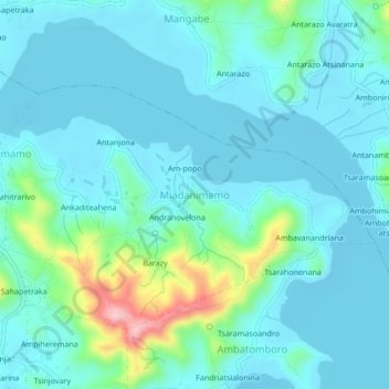
Name: Ambohijanaka topographic map, elevation, terrain.
Location: Ambohijanaka, Itasy, Province d’Antananarivo, Madagascar (-19.05992 46.74040 -19.01992 46.78040)
Average elevation: 1,248 m
Minimum elevation: 1,217 m
Maximum elevation: 1,404 m