Geolocate

Mungurral topographic map

Click on the map to display elevation.

About this map

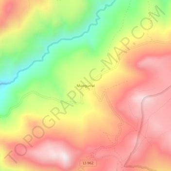
Name: Mungurral topographic map, elevation, terrain.

Location: Mungurral, Santiago de Chuco, La Libertad, Perú (-8.35450 -78.37205 -8.31450 -78.33205)

Average elevation: 3,682 m

Minimum elevation: 3,273 m

Maximum elevation: 3,996 m

Gear up for your next adventure:

🪑Insulated Seat Pad - Protect your seat from cold rocks and wet logs
Tent Footprint - Protect tent floor and increase durability
🔦UV Flashlight - Detect minerals or specific insects in the dark
🛶Kayak Accessories - Essential gear for safe and fun kayaking adventures
🧥Fleece Jacket - Warm and lightweight jacket for layering

As an Amazon Associate, this site earns from qualifying purchases at no extra cost to you.