
Ban Som topographic map
Interactive map
Click on the map to display elevation.
About this map
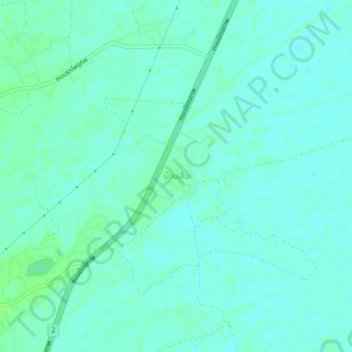
Name: Ban Som topographic map, elevation, terrain.
Location: Ban Som, Nakhon Ratchasima Province, Thailand (15.17570 102.33209 15.21570 102.37209)
Average elevation: 159 m
Minimum elevation: 155 m
Maximum elevation: 164 m