Geolocate

Barberi topographic map

Click on the map to display elevation.

About this map

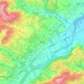
Name: Barberi topographic map, elevation, terrain.

Location: Barberi, Collecorvino, Pescara, Italy (42.42657 14.02400 42.46657 14.06400)

Average elevation: 126 m

Minimum elevation: 51 m

Maximum elevation: 252 m

Gear up for your next adventure:

💧Filtered Water Bottle - Safe drinking water on the go
🥾Lightweight Hiking Shoes - Comfortable shoes for day hikes
🕯️Camping Lantern - Illuminates your entire campsite with high-efficiency LEDs
🥤Collapsible Travel Cup - Saves space and weight in your mess kit
🧴Sunscreen SPF - Broad-spectrum sunscreen for outdoor activities

As an Amazon Associate, this site earns from qualifying purchases at no extra cost to you.