
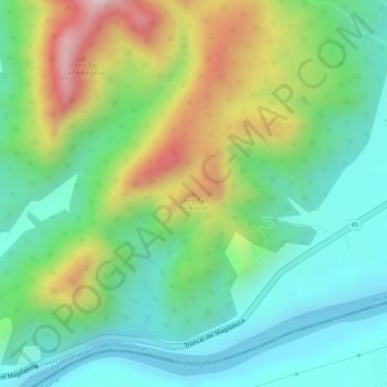
Cerro Pan De Azucar topographic map
Interactive map
Click on the map to display elevation.
About this map
Name: Cerro Pan De Azucar topographic map, elevation, terrain.
Location: Cerro Pan De Azucar, Girardot, Cundinamarca, Colombia (4.28027 -74.85701 4.28037 -74.85691)
Average elevation: 402 m
Minimum elevation: 253 m
Maximum elevation: 666 m