
Cumbum topographic map
Click on the map to display elevation.
Cumbum
Cumbum is located at 9°44′N 77°18′E / 9.73°N 77.3°E / 9.73; 77.3. It has an average elevation of 391meters (1282 feet). One can see the backdrop of Kodaikanal Hills from Cumbum. Apart from that Cumbum has most vigorous activity in agriculture.
About this map
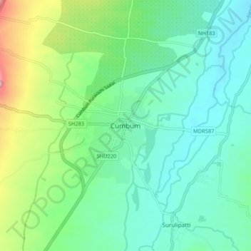
Name: Cumbum topographic map, elevation, terrain.
Location: Cumbum, Uthamapalayam, Theni, Tamil Nadu, 625516, India (9.69941 77.24530 9.77941 77.32530)
Average elevation: 432 m
Minimum elevation: 370 m
Maximum elevation: 612 m