
Strmec na Predelu topographic map
Click on the map to display elevation.
Strmec na Predelu
Strmec na Predelu (pronounced [ˈstəɾməts na pɾɛˈdeːlu]; Italian: Bretto di Sopra) is a settlement in the Municipality of Bovec in the Littoral region of Slovenia. It lies on the road to the Predel Pass. Another road, distinguished by being the road built at the highest elevation in Slovenia, splits off the road to Predel and leads to the lodge on Mangart Saddle.
About this map
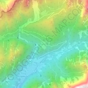
Name: Strmec na Predelu topographic map, elevation, terrain.
Location: Strmec na Predelu, Log pod Mangartom, Bovec, 5231, Slovenia (46.39613 13.59000 46.43613 13.63000)
Average elevation: 1,141 m
Minimum elevation: 597 m
Maximum elevation: 2,222 m