
Litroe topographic map
Interactive map
Click on the map to display elevation.
About this map
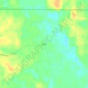
Name: Litroe topographic map, elevation, terrain.
Location: Litroe, Union Parish, Louisiana, USA (32.97346 -92.21625 33.01346 -92.17625)
Average elevation: 31 m
Minimum elevation: 17 m
Maximum elevation: 48 m