
Thank you for supporting this site ❤️
Make a donation
Make a donation
Gear up for your next adventure:
As an Amazon Associate, this site earns from qualifying purchases at no extra cost to you.
Tozkoparan topographic map
Click on the map to display elevation.
Thank you for supporting this site ❤️
Make a donation
Make a donation
Gear up for your next adventure:
As an Amazon Associate, this site earns from qualifying purchases at no extra cost to you.
About this map
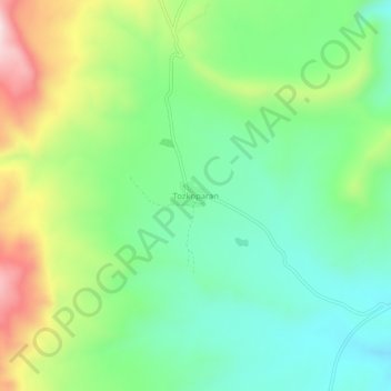
Name: Tozkoparan topographic map, elevation, terrain.
Location: Tozkoparan, Pertek, Tunceli, Eastern Anatolia Region, Turkey (38.90849 39.41870 38.94849 39.45870)
Average elevation: 1,415 m
Minimum elevation: 1,258 m
Maximum elevation: 1,719 m
Thank you for supporting this site ❤️
Make a donation
Make a donation
Gear up for your next adventure:
As an Amazon Associate, this site earns from qualifying purchases at no extra cost to you.