
Eisenerz topographic map
Interactive map
Click on the map to display elevation.
About this map
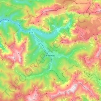
Name: Eisenerz topographic map, elevation, terrain.
Location: Eisenerz, Leoben, Stiermarken, 8790, Oostenrijk (47.48237 14.80499 47.61450 14.98340)
Average elevation: 1,283 m
Minimum elevation: 555 m
Maximum elevation: 2,139 m