
Cibola topographic map
Click on the map to display elevation.
About this map
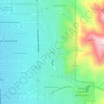
Name: Cibola topographic map, elevation, terrain.
Average elevation: 1,888 m
Minimum elevation: 1,706 m
Maximum elevation: 2,465 m
Other topographic maps
Click on a map to view its topography, its elevation and its terrain.
Central Pond (Tingley Beach)
United States > New Mexico > Bernalillo County > Albuquerque
Average elevation: 1,511 m
Joe M. Lucero Hillside
United States > New Mexico > Bernalillo County > Albuquerque
Average elevation: 1,637 m