
Monte Gordo topographic map
Interactive map
Click on the map to display elevation.
About this map
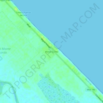
Name: Monte Gordo topographic map, elevation, terrain.
Location: Monte Gordo, Tecolutla, Veracruz, 93588, México (20.27139 -96.85750 20.31139 -96.81750)
Average elevation: 3 m
Minimum elevation: 0 m
Maximum elevation: 14 m
Other topographic maps
Click on a map to view its topography, its elevation and its terrain.
Cañada Rica
Cañada Rica, Tecolutla, Veracruz, México
Average elevation: 74 m