
St. Agatha topographic map
Interactive map
Click on the map to display elevation.
About this map
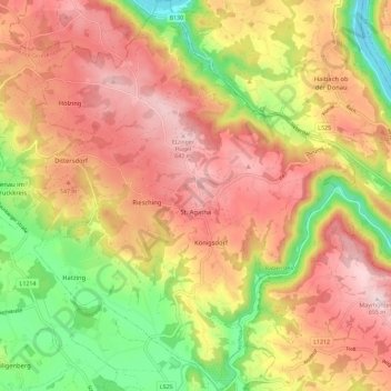
Name: St. Agatha topographic map, elevation, terrain.
Location: St. Agatha, Bezirk Grieskirchen, Upper Austria, 4084, Austria (48.34942 13.82883 48.42591 13.92371)
Average elevation: 481 m
Minimum elevation: 269 m
Maximum elevation: 653 m