
Parque Huascarán topographic map
Click on the map to display elevation.
About this map
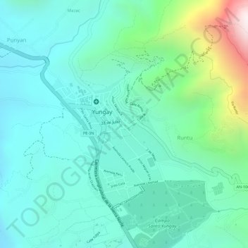
Name: Parque Huascarán topographic map, elevation, terrain.
Location: Parque Huascarán, Runtu, Yungay, Áncash, Perú (-9.14143 -77.74252 -9.14079 -77.74171)
Average elevation: 2,583 m
Minimum elevation: 2,369 m
Maximum elevation: 3,271 m