Geolocate

Kelsterbach topographic map

Click on the map to display elevation.

About this map

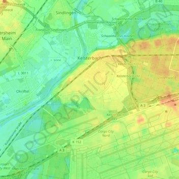
Name: Kelsterbach topographic map, elevation, terrain.

Location: Kelsterbach, Kreis Groß-Gerau, Hesse, 65451, Germany (50.02580 8.47036 50.08386 8.55349)

Average elevation: 101 m

Minimum elevation: 85 m

Maximum elevation: 120 m

Gear up for your next adventure:

🎒Hiking Backpack - Lightweight and ergonomic backpacks for day hikes or multi-day treks
🥾Hiking Leggings - Comfortable leggings for outdoor activities
🥾Hiking Shoes - Durable and comfortable shoes for trail hiking
🔥Camping Stove - Portable stoves to cook outdoors with ease
Backpacking Tent - Lightweight tent for long-distance hiking trips

As an Amazon Associate, this site earns from qualifying purchases at no extra cost to you.