Geolocate

Uttara topographic map

Click on the map to display elevation.

About this map

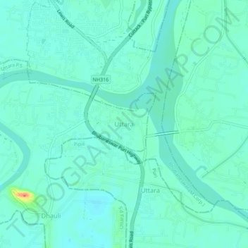
Name: Uttara topographic map, elevation, terrain.

Location: Uttara, Uttara P.S, Khordha, Odisha, 752104, India (20.18401 85.83657 20.22401 85.87657)

Average elevation: 16 m

Minimum elevation: 7 m

Maximum elevation: 52 m

Gear up for your next adventure:

🧦Thermal Socks - Warm socks for winter hiking or camping
Tent Footprint - Protect tent floor and increase durability
🎒Fully Waterproof Backpack - Total protection for photography gear and electronics
🛶Kayak Accessories - Essential gear for safe and fun kayaking adventures
🥾Approach Boots - Comfortable boots for hiking and climbing approaches

As an Amazon Associate, this site earns from qualifying purchases at no extra cost to you.