Geolocate

Bhargama topographic map

Click on the map to display elevation.

About this map

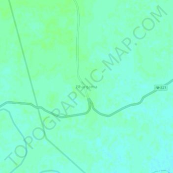
Name: Bhargama topographic map, elevation, terrain.

Location: Bhargama, Araria, Bihar, 854335, India (26.04406 87.12990 26.08406 87.16990)

Average elevation: 52 m

Minimum elevation: 48 m

Maximum elevation: 55 m

Gear up for your next adventure:

🧴Sunscreen SPF - Broad-spectrum sunscreen for outdoor activities
🎒Backpack Rain Cover - External shield to keep your entire pack dry
🥾Hiking Shoes - Durable and comfortable shoes for trail hiking
🔭Compact Binoculars - Lightweight optics for scouting trails and wildlife
🥾Hiking Gaiters - Protect legs and shoes from mud, snow, and debris

As an Amazon Associate, this site earns from qualifying purchases at no extra cost to you.