Geolocate

Ramanagar topographic map

Click on the map to display elevation.

About this map
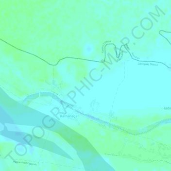
Name: Ramanagar topographic map, elevation, terrain.

Location: Ramanagar, Sahibganj (block), Sahibganj, Jharkhand, India (25.29766 87.65448 25.31090 87.66848)

Average elevation: 26 m

Minimum elevation: 22 m

Maximum elevation: 30 m

Other topographic maps

Click on a map to view its topography, its elevation and its terrain.

Sahibganj

India > Jharkhand > Sahibganj (block)

Average elevation: 73 m

Gear up for your next adventure:

🔨Vehicle Emergency Tool - Safety tool for remote road trips to trailheads
🧢Hiking Hat - Sun-protective and breathable hats for long treks
🧢Outdoor Visor - Breathable visor for sunny hikes
🥾Hiking Gaiters - Protect legs and shoes from mud, snow, and debris
🚲MTB Frame Bag - Carry tools and maps directly on your bicycle frame

As an Amazon Associate, this site earns from qualifying purchases at no extra cost to you.