
Fayetteville topographic map
Click on the map to display elevation.
About this map
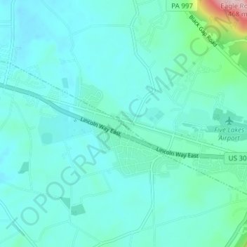
Name: Fayetteville topographic map, elevation, terrain.
Average elevation: 248 m
Minimum elevation: 215 m
Maximum elevation: 464 m
Other topographic maps
Click on a map to view its topography, its elevation and its terrain.
Green Village
United States > Pennsylvania > Franklin County > Greene Township
Average elevation: 207 m
Caledonia State Park
United States > Pennsylvania > Franklin County > Greene Township
Average elevation: 367 m