
Großklein topographic map
Interactive map
Click on the map to display elevation.
About this map
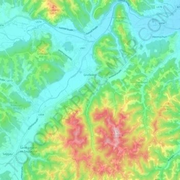
Name: Großklein topographic map, elevation, terrain.
Location: Großklein, Bezirk Leibnitz, Stiermarken, 8452, Oostenrijk (46.69852 15.36775 46.76018 15.48848)
Average elevation: 373 m
Minimum elevation: 273 m
Maximum elevation: 623 m