Geolocate

Sidodadi topographic map

Click on the map to display elevation.

About this map

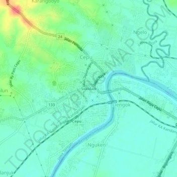
Name: Sidodadi topographic map, elevation, terrain.

Location: Sidodadi, Ngelo, Blora, Central Java, 58312, Indonesia (-7.16826 111.57360 -7.12826 111.61360)

Average elevation: 35 m

Minimum elevation: 19 m

Maximum elevation: 85 m

Gear up for your next adventure:

🩹Moleskin Blister Pads - Direct protection for painful foot pressure points
🥾Waterproof Trail Shoes - Shoes designed to handle wet terrain
🚲Handlebar Phone Mount - View topographic-map.com live while cycling
🛌Insulated Sleeping Pad - Critical thermal barrier between you and the cold ground
🧰Emergency Multi-Tool - Compact multi-tool for outdoor survival

As an Amazon Associate, this site earns from qualifying purchases at no extra cost to you.