
李集村 topographic map
Interactive map
Click on the map to display elevation.
About this map
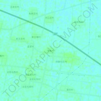
Name: 李集村 topographic map, elevation, terrain.
Location: 李集村, Shandong, Chine (36.94175 116.08285 36.98175 116.12285)
Average elevation: 31 m
Minimum elevation: 28 m
Maximum elevation: 34 m
Other topographic maps
Click on a map to view its topography, its elevation and its terrain.