Geolocate

Les Arches topographic map

Click on the map to display elevation.

About this map

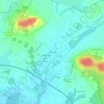
Name: Les Arches topographic map, elevation, terrain.

Location: Les Arches, Fontaine-Guérin, Les Bois-d'Anjou, Saumur, Maine-et-Loire, Pays de la Loire, France métropolitaine, 49250, France (47.47021 -0.22162 47.51021 -0.18162)

Average elevation: 36 m

Minimum elevation: 22 m

Maximum elevation: 88 m

Other topographic maps

Click on a map to view its topography, its elevation and its terrain.

Gear up for your next adventure:

🥾Mountain Trail Shoes - High-traction shoes for mountain trails
🚲Bike Repair Kit - Essential tools for on-trail mechanical issues
🐕Hiking Dog Pack - Let your canine companion carry their own water and food
🧤Thermal Hiking Gloves - Grip-enhanced gloves for cold-weather altitude trekking
🚲Handlebar Phone Mount - View topographic-map.com live while cycling

As an Amazon Associate, this site earns from qualifying purchases at no extra cost to you.