
Marulas topographic map
Interactive map
Click on the map to display elevation.
About this map
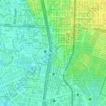
Name: Marulas topographic map, elevation, terrain.
Average elevation: 10 m
Minimum elevation: -1 m
Maximum elevation: 23 m
Other topographic maps
Click on a map to view its topography, its elevation and its terrain.
Caloocan
Caloocan, Northern Manila District, Grand Manille, Philippines
Average elevation: 18 m
Barangay 74
Barangay 74, Caloocan, NCR, Third District, Grand Manille, Philippines
Average elevation: 15 m