
库额尔齐斯镇 topographic map
Interactive map
Click on the map to display elevation.
库额尔齐斯镇
富蕴县地处准噶尔盆地北缘,面积3.24万平方公里。县域北高南低,最高点都新乌拉峰,海拔3863米,最低海拔317米(三泉洼地)。县城海拔800米。 额尔齐斯河和乌伦古河将全县分为三大区域:额河以北的山区、山前丘陵区,两河之间的山前丘陵和戈壁区及乌河以北的丘陵、戈壁和荒漠区。额尔齐斯河和乌伦古河两大水系年径流量43.5亿立方米。
About this map
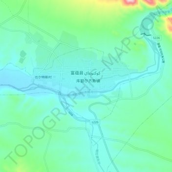
Name: 库额尔齐斯镇 topographic map, elevation, terrain.
Location: 库额尔齐斯镇, 富蕴县, 阿勒泰地区, 新疆维吾尔自治区, 中国 (46.96486 89.46965 47.01061 89.56574)
Average elevation: 846 m
Minimum elevation: 779 m
Maximum elevation: 1,152 m
Other topographic maps
Click on a map to view its topography, its elevation and its terrain.