
Make a donation
Gear up for your next adventure:
As an Amazon Associate, this site earns from qualifying purchases at no extra cost to you.
Vallée du Lys topographic map
Click on the map to display elevation.
Make a donation
Gear up for your next adventure:
As an Amazon Associate, this site earns from qualifying purchases at no extra cost to you.
Vallée du Lys
La vallée du Lis, ou vallée du Lys, est une petite vallée d'altitude des Pyrénées françaises s'ouvrant sur la vallée de Luchon (département de la Haute-Garonne, région Occitanie). Elle tient son nom du Lys, petite rivière affluent de la Pique.
Make a donation
Gear up for your next adventure:
As an Amazon Associate, this site earns from qualifying purchases at no extra cost to you.
About this map
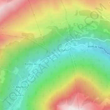
Name: Vallée du Lys topographic map, elevation, terrain.
Average elevation: 1,436 m
Minimum elevation: 1,007 m
Maximum elevation: 2,032 m
Make a donation
Gear up for your next adventure:
As an Amazon Associate, this site earns from qualifying purchases at no extra cost to you.